Every year (except 2012), I will hike or bike The Little Miami Scenic Bike Trail, one of those old rail beds that’s been converted for bicycle and pedestrian use. Sure, it’s flat, but it’s away (mostly) from civilization. In the past few years, I’ve done the trail by bike. I may run the trail by sections in the next few years. After all, I’m doing the Flying Pig Marathon for my fiftieth birthday.
Some would ask what the appeal of a flat, paved hiker-biker trail would be. As I said, it’s away from civilization, following the path (mostly) of the old Little Miami Railroad, which became part of Conrail in its final days before being abandoned. They’re flat. They offer no hills or opportunities to climb. So why this?
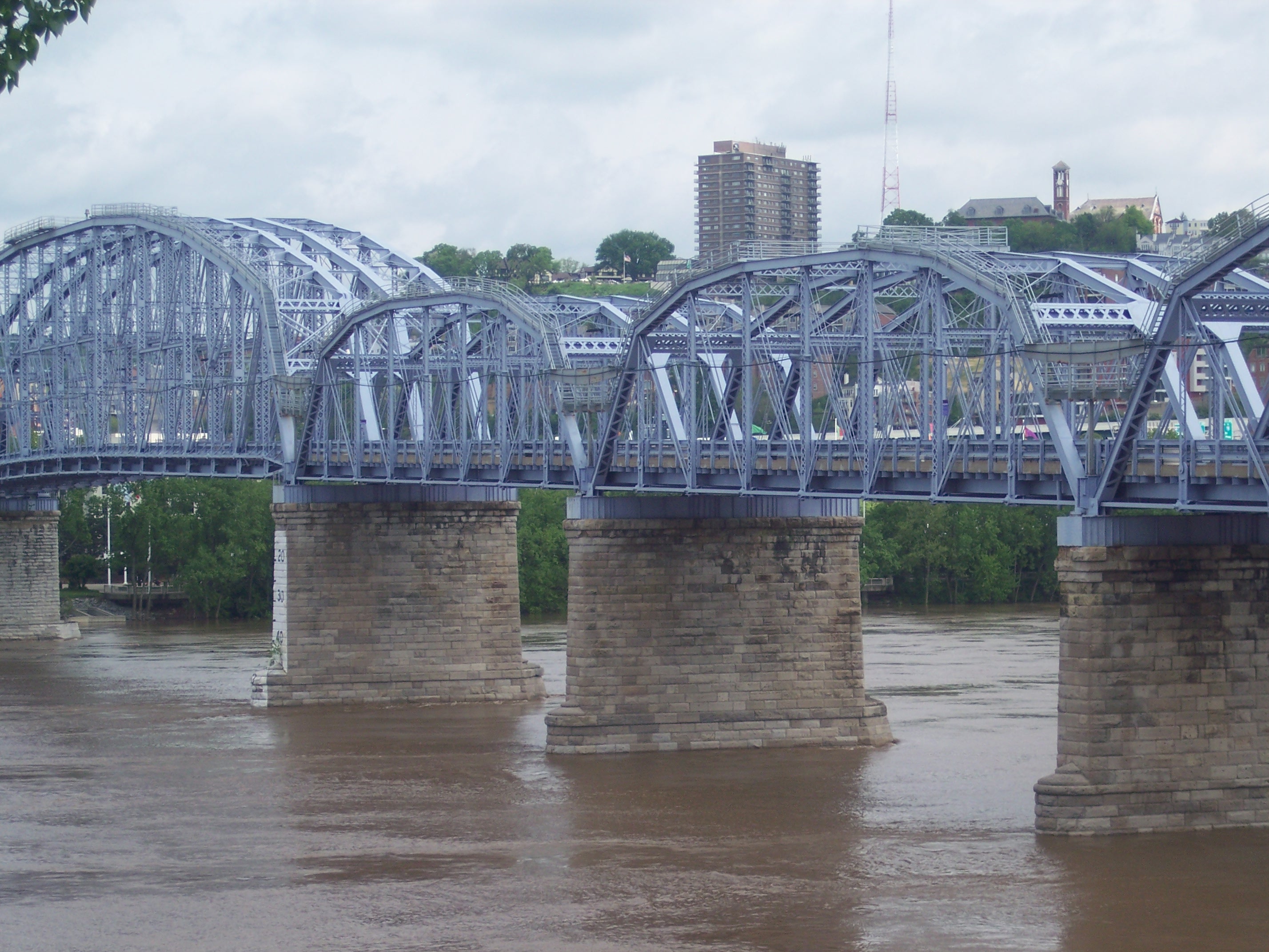 Well, there are plenty of parks that challenge a hiker and a couple of trails that will test a cyclist’s stamina. And while I do the trail partly to get some exercise, in reality, it’s sort of a meditation for me. I walk/ride the trail because it’s isolated. The scenery is ever-changing, and not just from section to section but from year to year. I’ve have gone through trail segments that, when revisiting them the following spring or summer, look nothing like they did the year before. I start the trail in Newport, Kentucky and ride it through Berry Park on the Ohio side of the Ohio River and out to Lunken Airport, where it circles the air field. This is actually not part of the Little Miami Trail per se. Starting at the Newport on the Levee complex, you ride the Purple People Bridge (Yes, that’s what it’s called) over to where it joins the Ohio River Trail, following the big river out to Lunken. The loop around Lunken is its own trail and connects with Armleder Park now. In the next two or three years, a bridge will connect that park with the trail proper. For now, I just accept the gap and pick up at a park in Newtown across the Little Miami River.
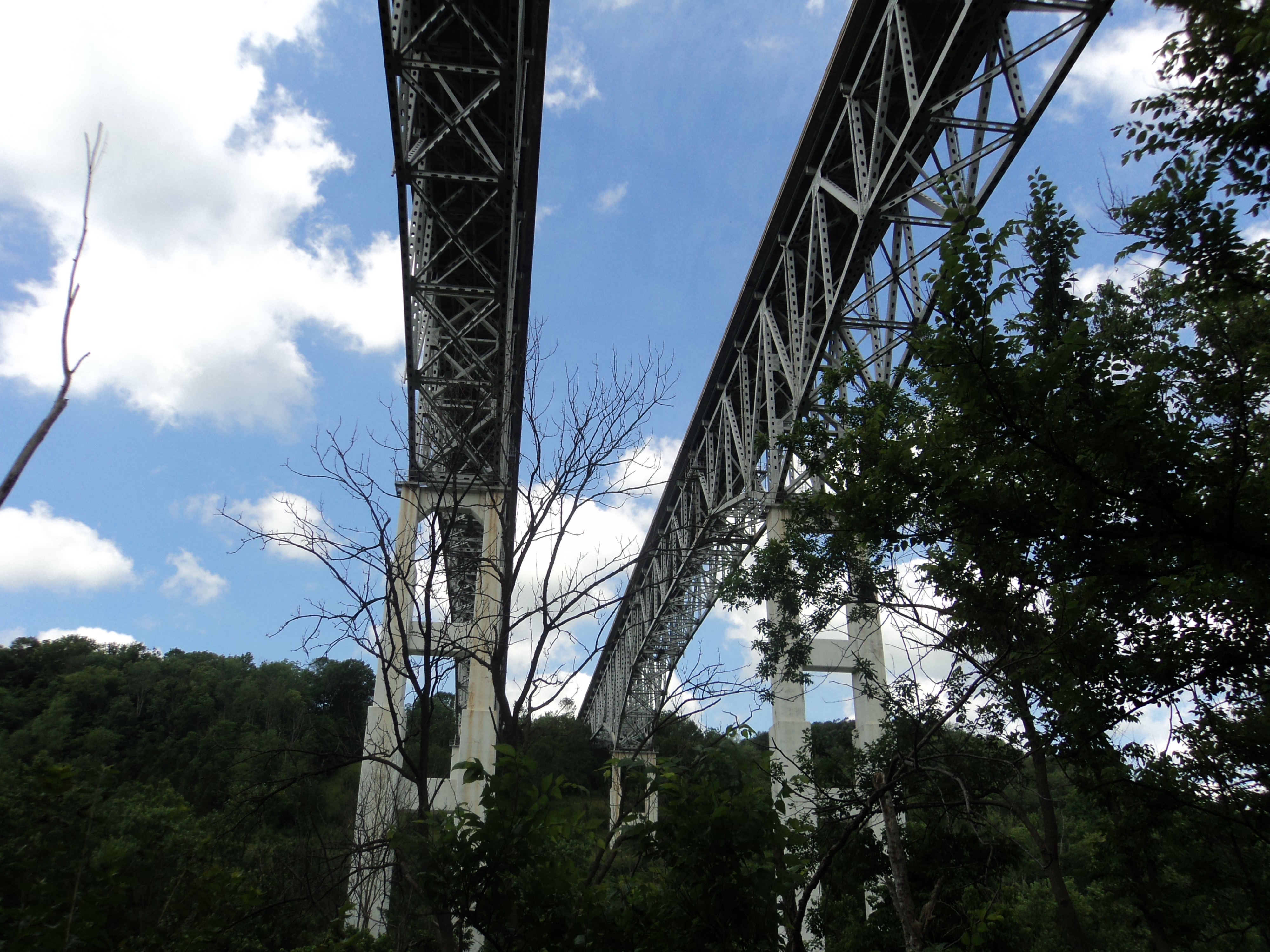 This rest of the trail winds through wooded areas, occasionally emerging into small towns along the way. Sometimes, you happen on an area developed entirely around the bike trail. My favorite is in downtown Loveland. When starting or ending a segment in Loveland, I’ll stop at Paxton’s Grill for breakfast or a bowl of chili.
Another favorite stop along the trail is the Little River Cafe in this unincorporated speck on the map called Oregonia. I’ve stopped in often for a cold beer and one of their thick, juicy burgers and a bowl of chili. Good stuff, especially on a hot summer afternoon when you’ve already bike about twenty miles.
 It’s in this section where the trail and the river descend into this steep ravine, part of which contains ruins from the Ft. Ancient civilization that inhabited the Ohio Valley up until about a century before the Europeans reached this part of the US. Further on up, as the trail approaches Xenia (Yes, the town where all the tornadoes hit in 1974.), there is a swamp nature preserve.
A few years back, there had been bear sightings in the areas surrounding the trail in Warren County. That summer, I worried about what to do if the bear decided I was a threat when I happened by. After completing the trail for a year, I was disappointed that I didn’t at least see the bear from a distance.
When I do the trail, I ride or hike it in sections, armed only with water and an iPod, and sometimes, not even the iPod.
